GLASS EARTH®
Rendering the subsurface entirely transparent - a metaphorical “Glass Earth®.”
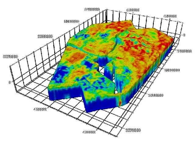
Glass Earth® Model
Industry-leading research and development and algorithmic innovations by TechnoImaging® allow:
System integration of geophysical survey data
Simultaneous analysis and inversion of electromagnetic, gravity, magnetic, radiometric, and terrain geophysical data sets
Proprietary imaging and analysis technologies that integrate and jointly invert multi-physics geophysical data
Advanced imaging algorithms, capable of rendering transparent the top kilometers of the Earth’s strata and revealing the geological formations hidden within